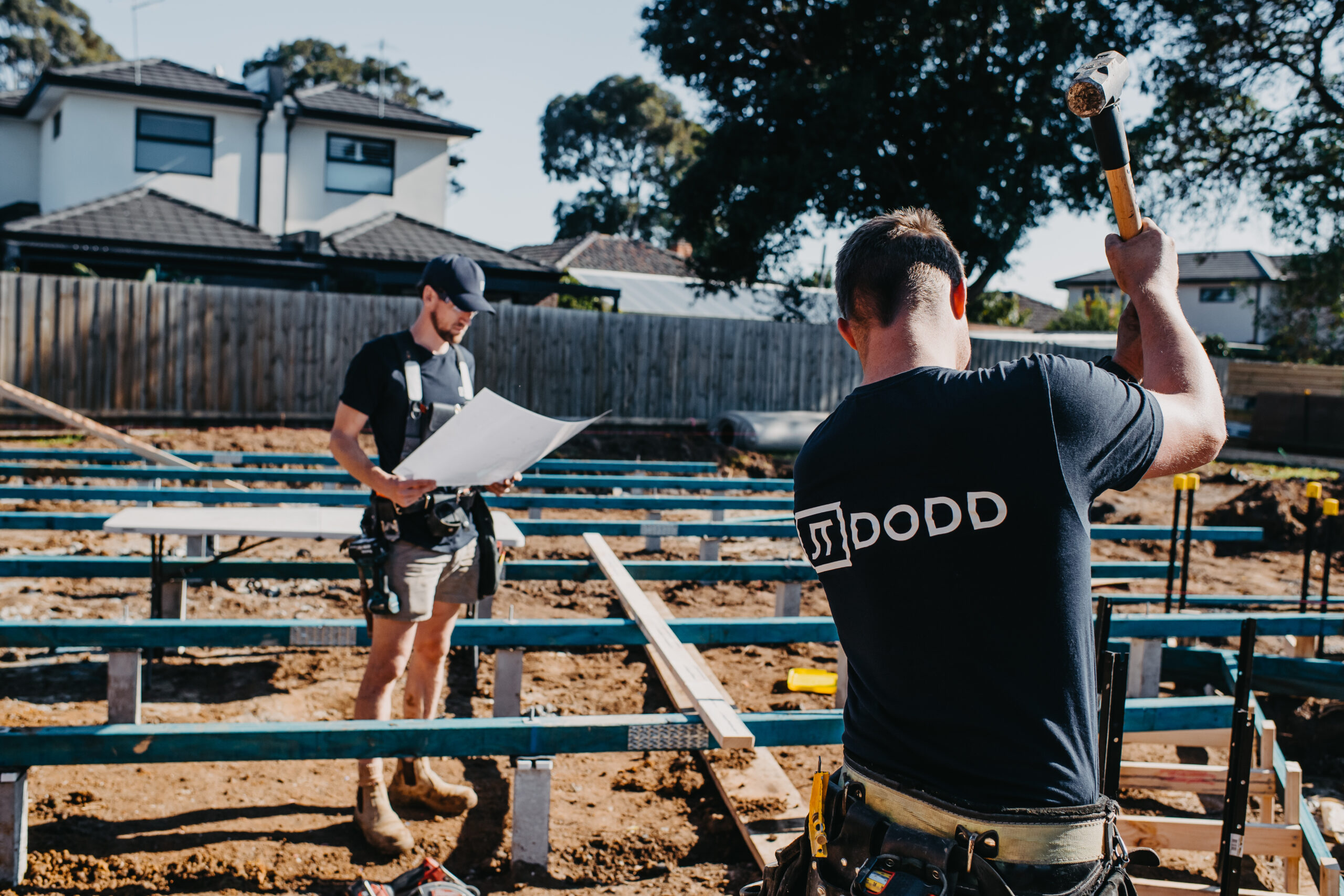
A Contour and Detail Survey is crucial for building and land development projects. It provides essential information about features on the property and nearby, helping architects and planners make informed decisions.
Key Components:
- Elevation levels and contours based on the Australian Height Datum (AHD)
- Connection to official land markers and rough boundary outlines
- On-site survey for detailed features
- Mapping of visible utilities like water and gas lines
- Spot elevations across the property
- Information on significant trees with trunks over 0.2 meters in diameter
- Notes on retaining walls and changes in elevation on adjacent properties
- Locations of existing and neighbouring buildings, including their floor and peak heights
- Road and curb details near the property
- Establishment of a site-level reference point
This type of survey is often required for successful development applications and helps ensure your project goes smoothly.
Note: Before beginning any extension, we engage a professional land surveyor to determine each external wall’s location precisely. While many builders rely solely on tape measures for this step, we view this survey as a form of insurance—a secondary verification to guarantee your home is built exactly where it should be. This proactive approach minimises potential conflicts with neighbours and local authorities.

